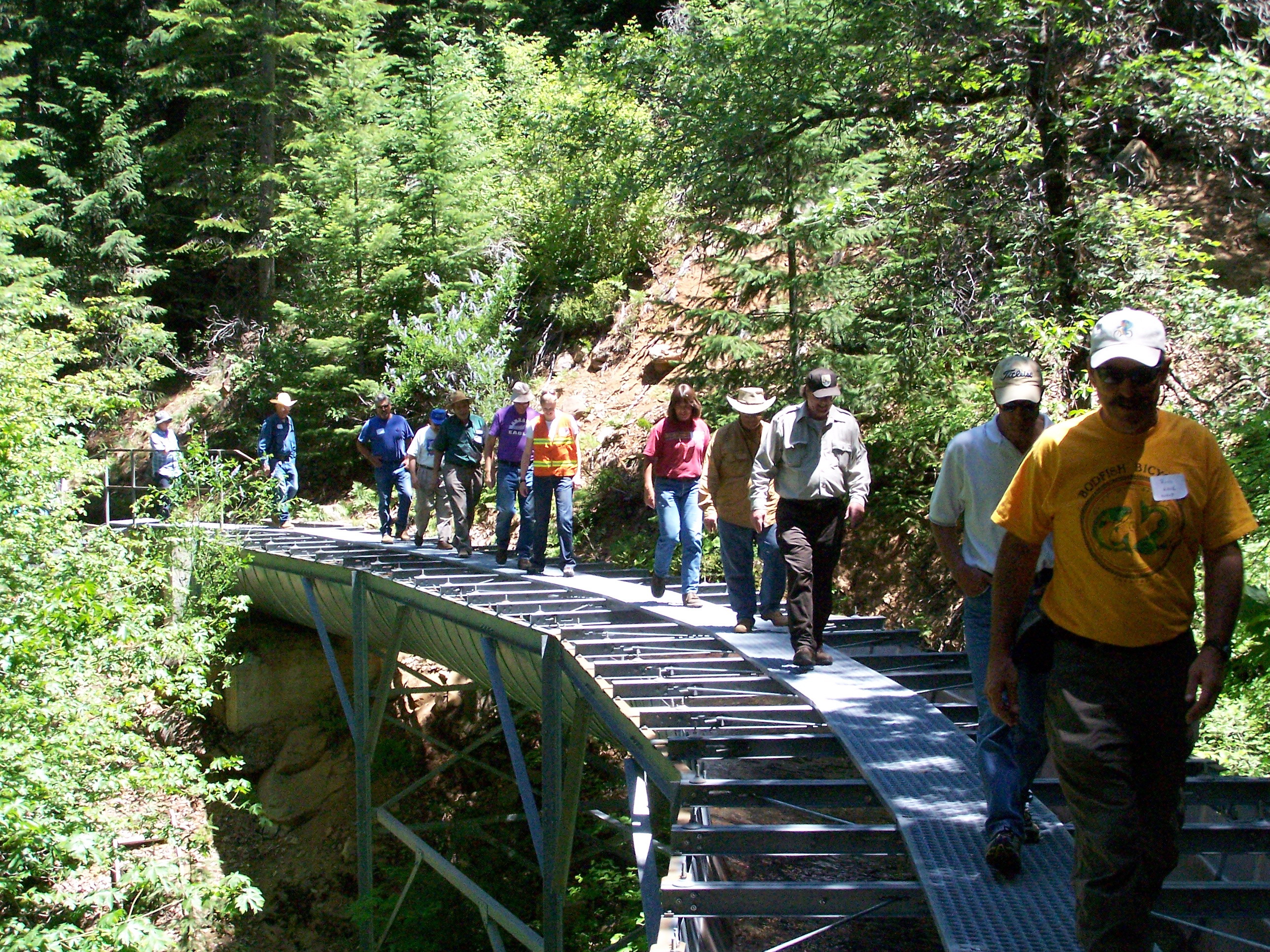
The Kilarc Project
Kilarc Canal Photos
These pictures start just upstream of the Forebay where the proposed lower fish screen will be located.
They are ordered proceeding upstream through the new Lower Habitat area which is just under a mile long. Further upstream is a steep-slope area with no habitat, Then some isolated small areas. Further upstream is the Middle Habitat area with good access for maintenance, and finally an Upper Habitat area starting below the gauging station. Total future habitat length is over a mile long.
Click on the pictures for a full sized photographs which are typically 2-3 MB.
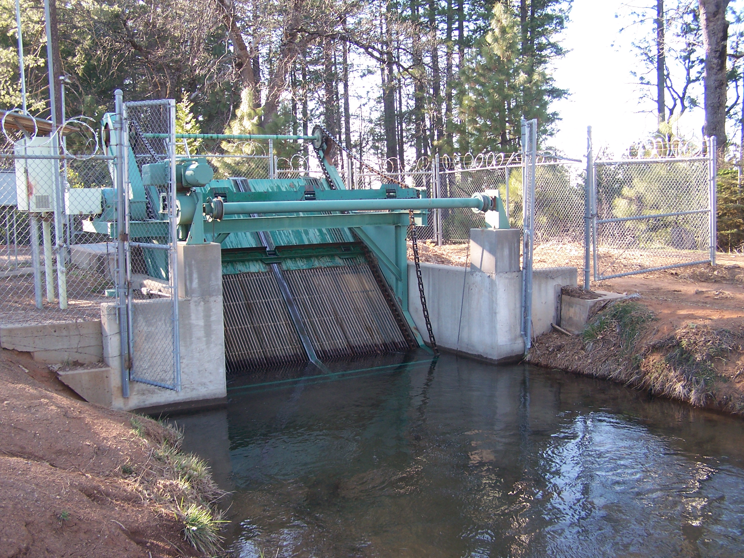 |
Final Trash Rack Reduces trash going into the Forebay. The end of the new Lower fish spawning area will be in this area. |
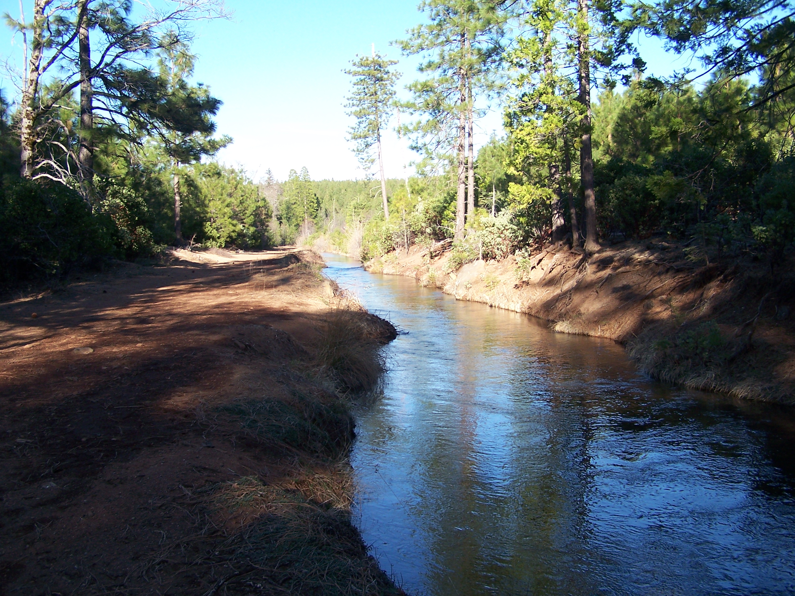 |
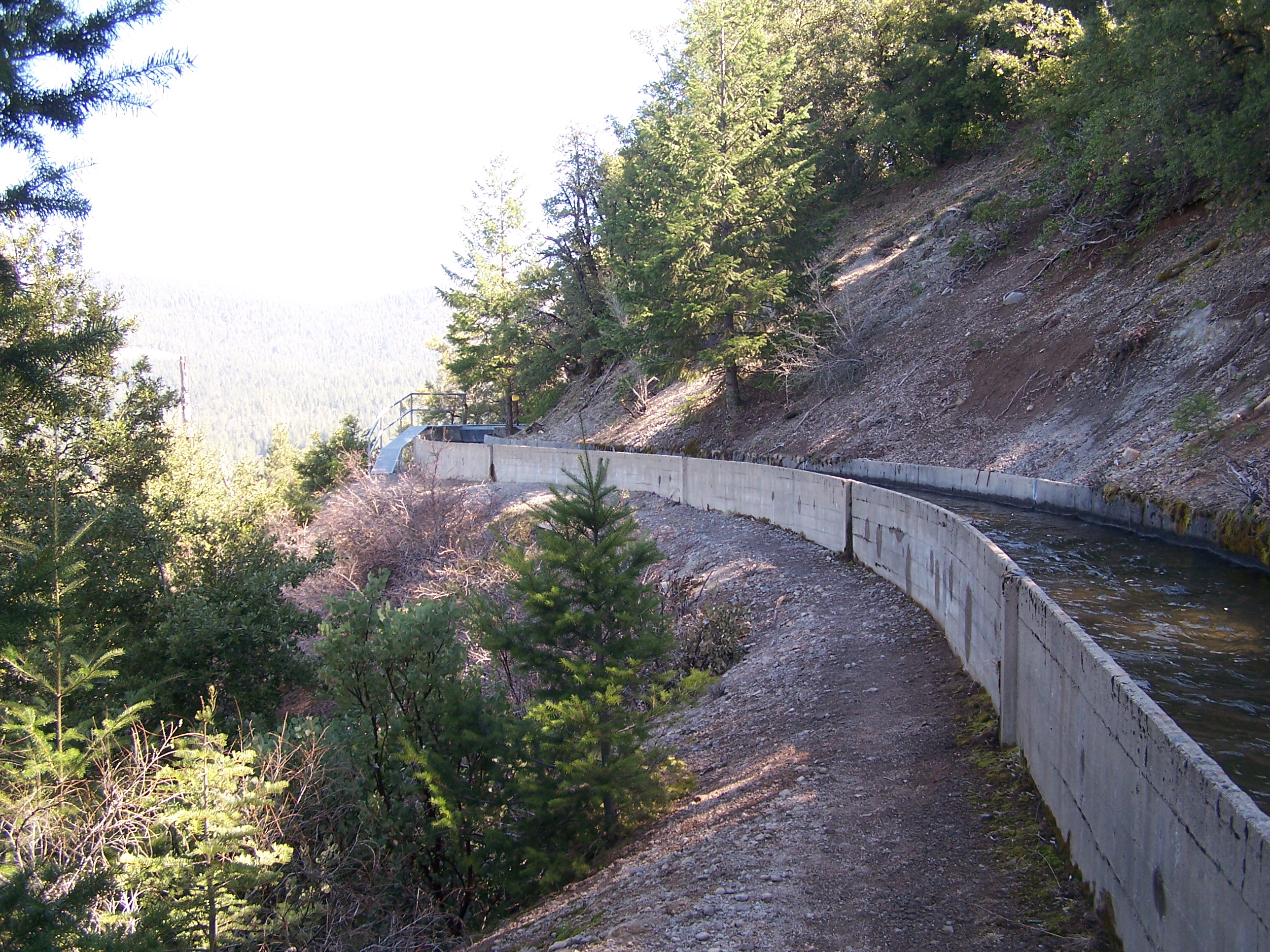
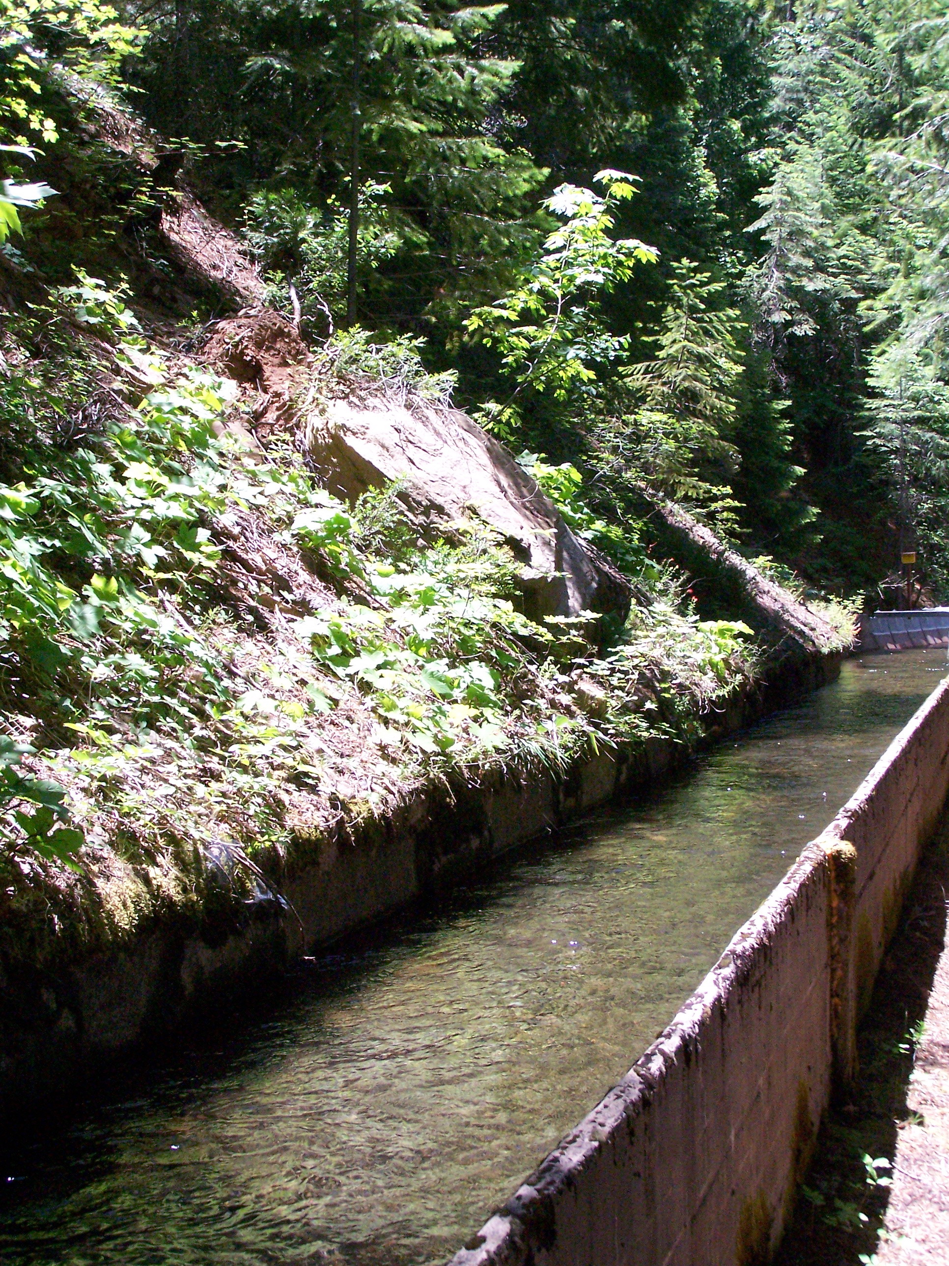
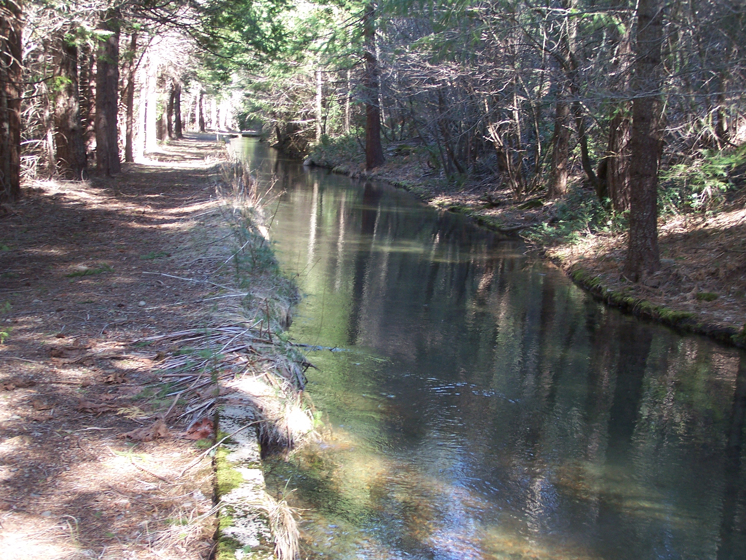
Lower New Habitat Area Close to end, the canal comes up onto the hill top. There is just under a mile of wide gravel bottom canal beds here that will be converted into the largest spawning and young juvenile habitat area with the addition of groins, large boulders, gravel, woody debris, and cover. |
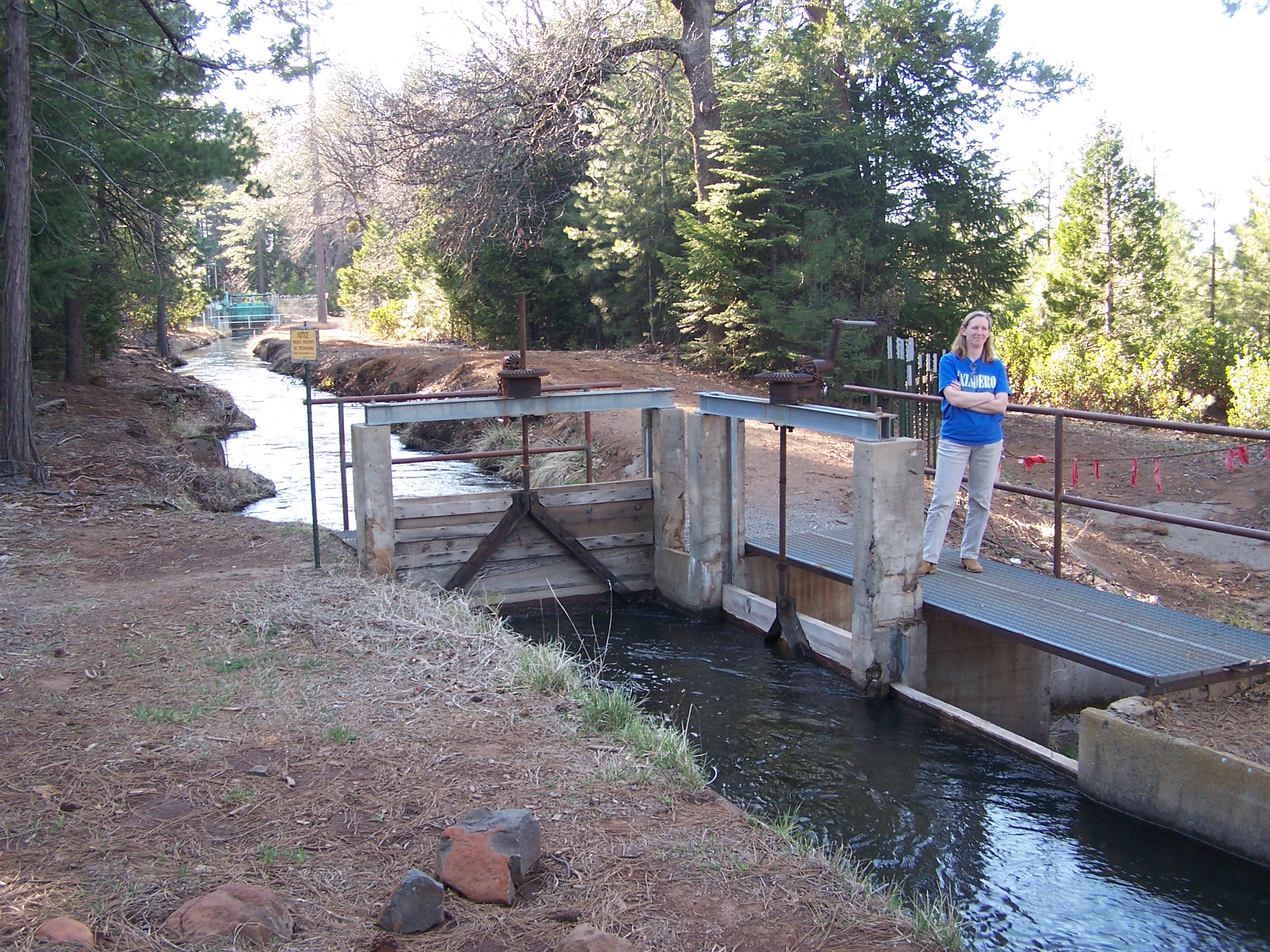 |
Last of many Relief Gates This gate is a break in the lower habitat area. The Lower fish- return conduit will join the same stream that this leads to further down the hill. |
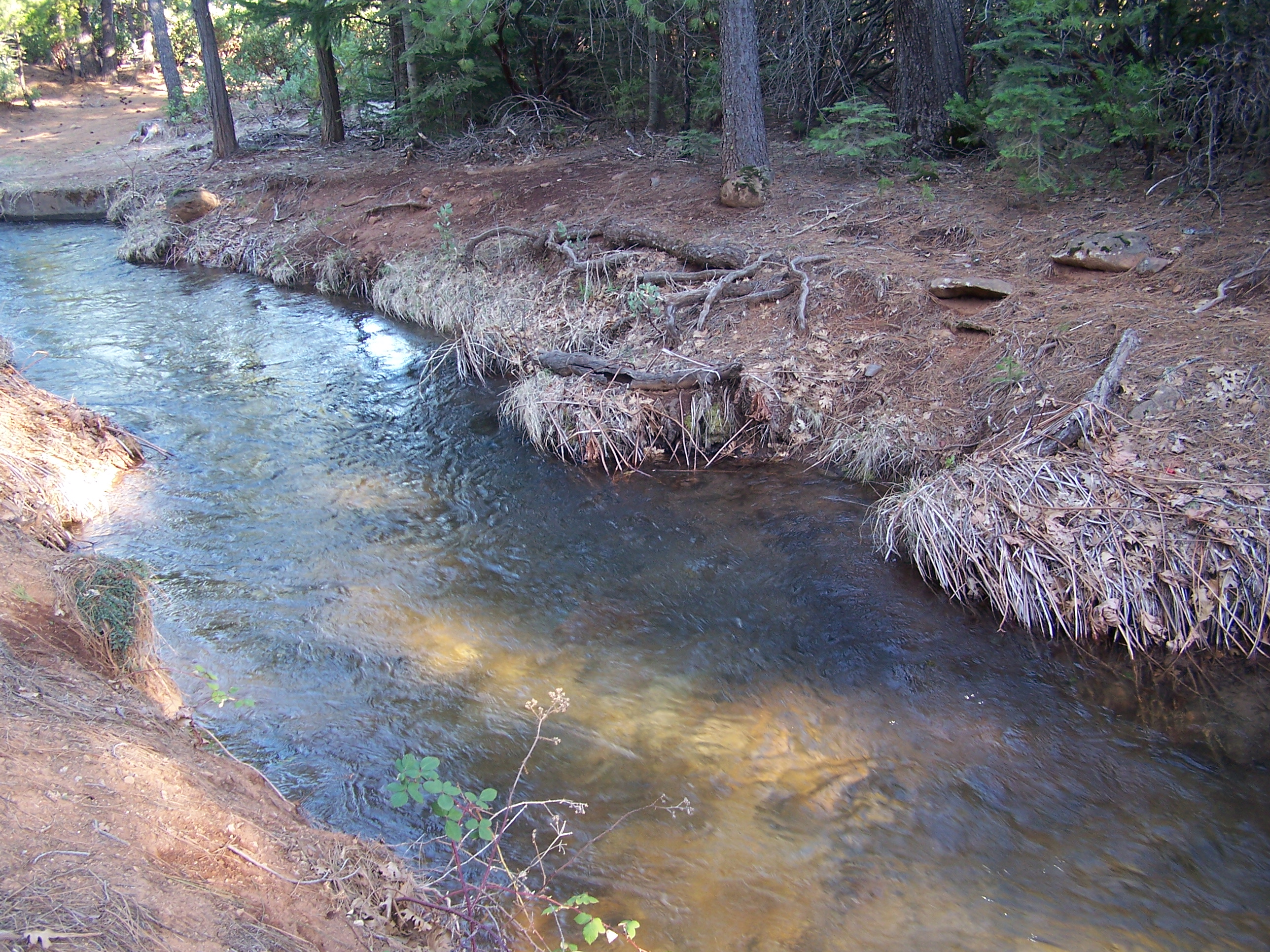 |
Wide and Slow Near perfect area for future spawning beds - currently full of redds from resident rainbow. Pools and resting areas need to be created. Cover, woody debris, and groins will be added. |
 |
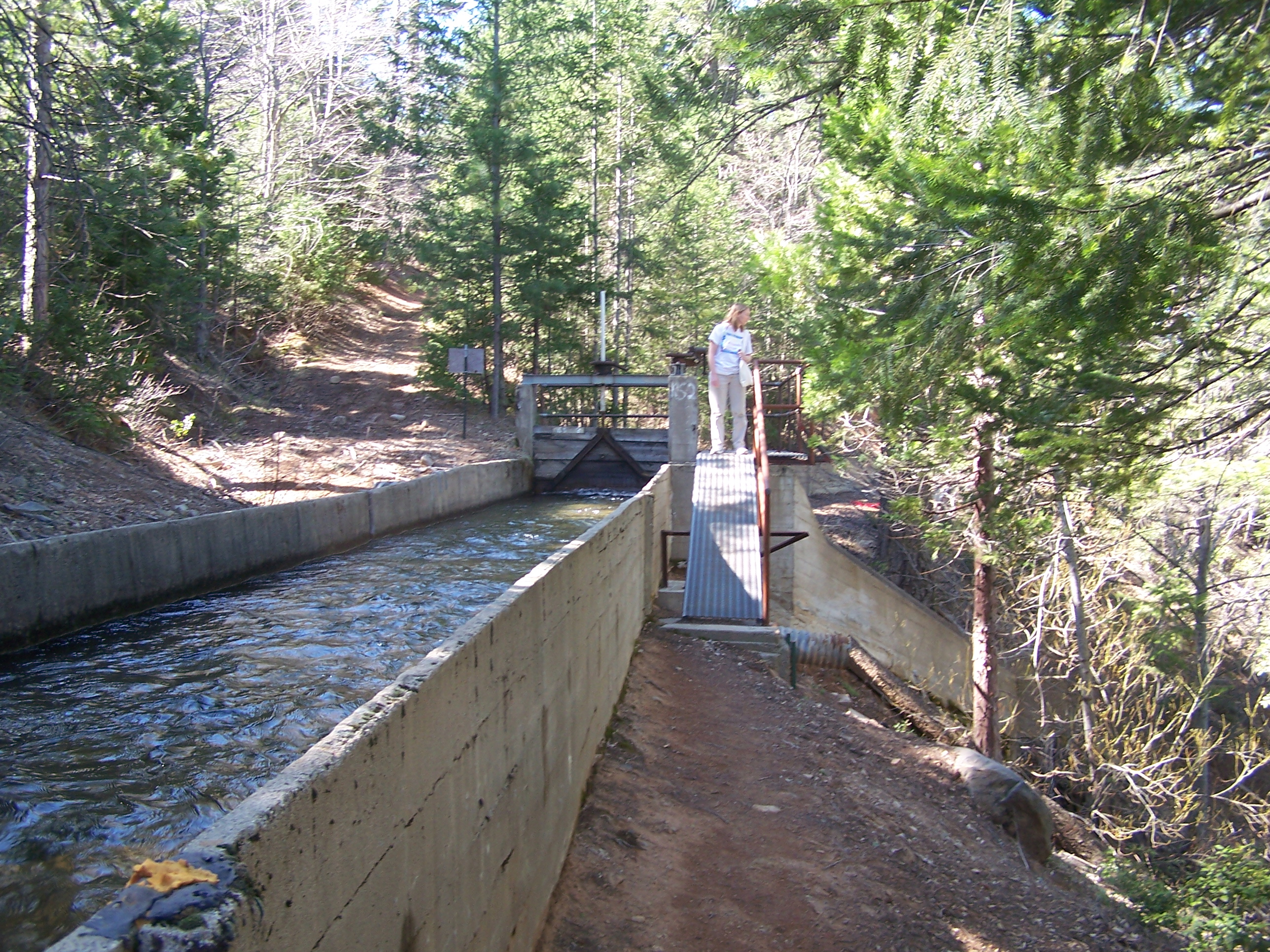
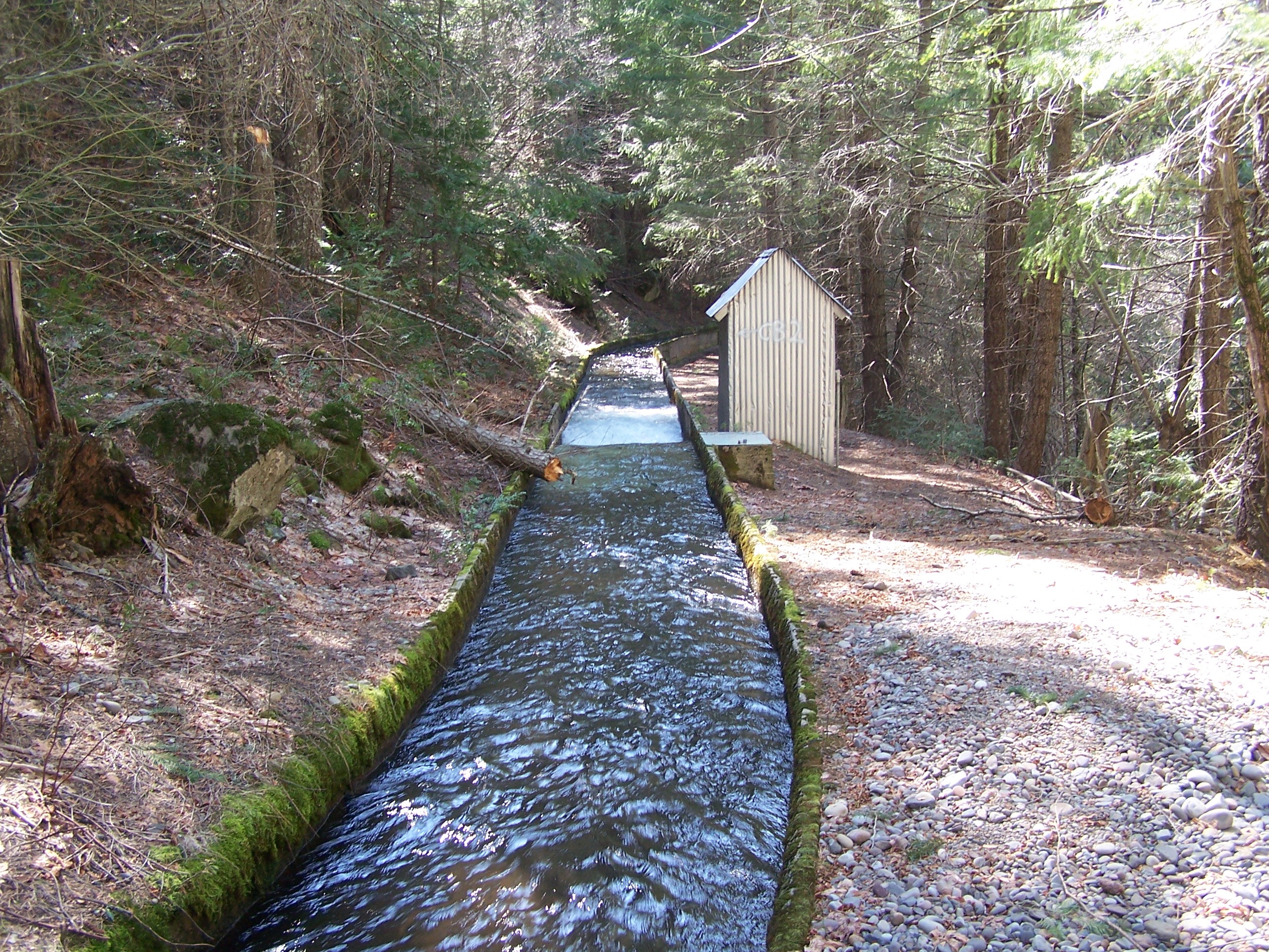
Break in Lower Habit Area The lower habitat area is broken by this short conduit. These conduits will be studied to see if fish resting points can be created along them. This will increase up and down canal passage - especially in the fall during spawning. |
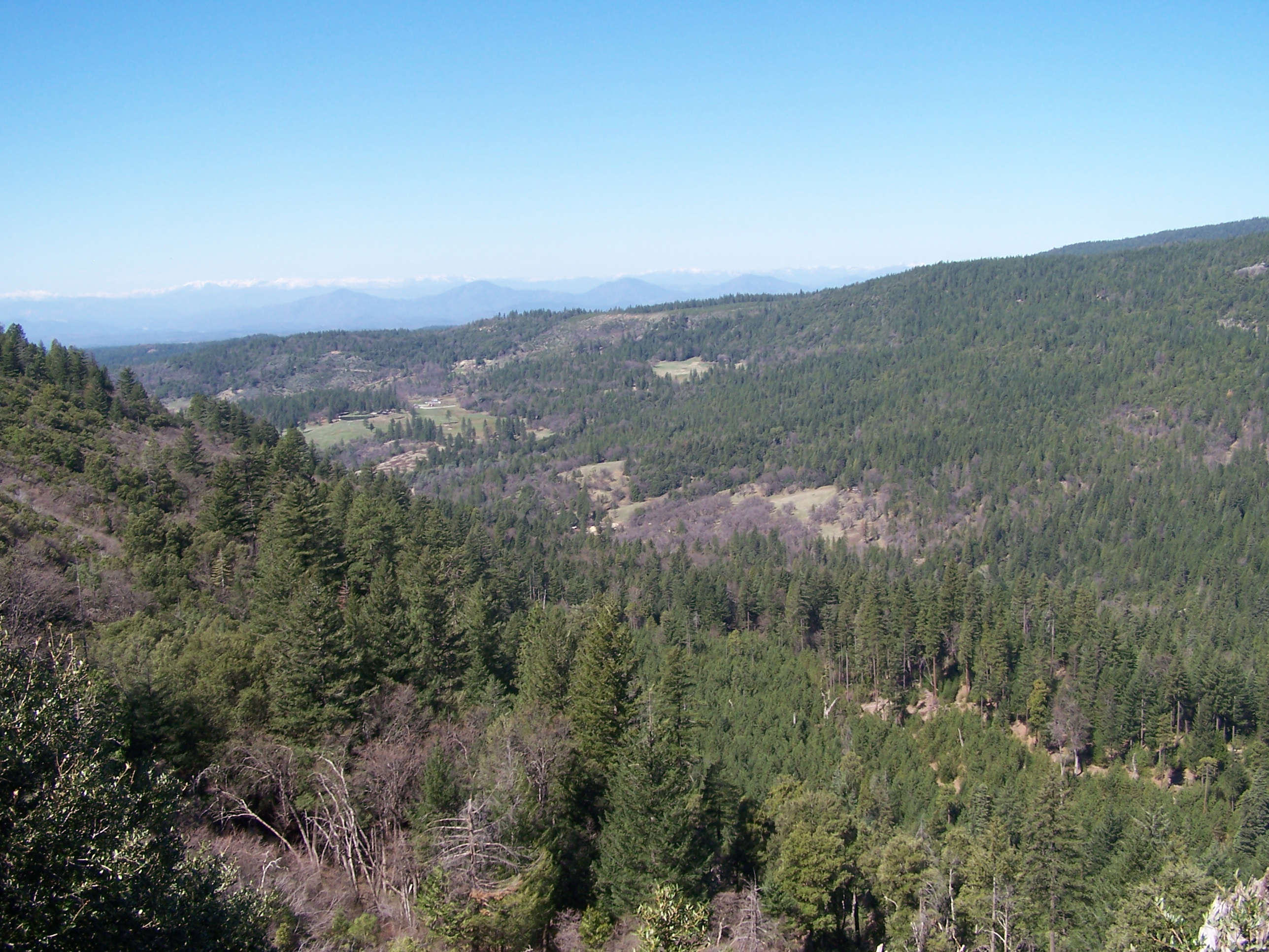 |
West looking view through the trees to the west From the middle sections of the canal, the valley is very steep to the right. |
 |
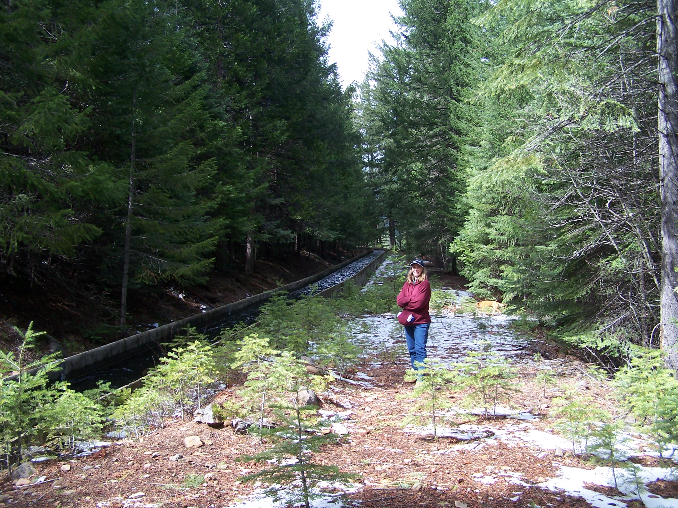
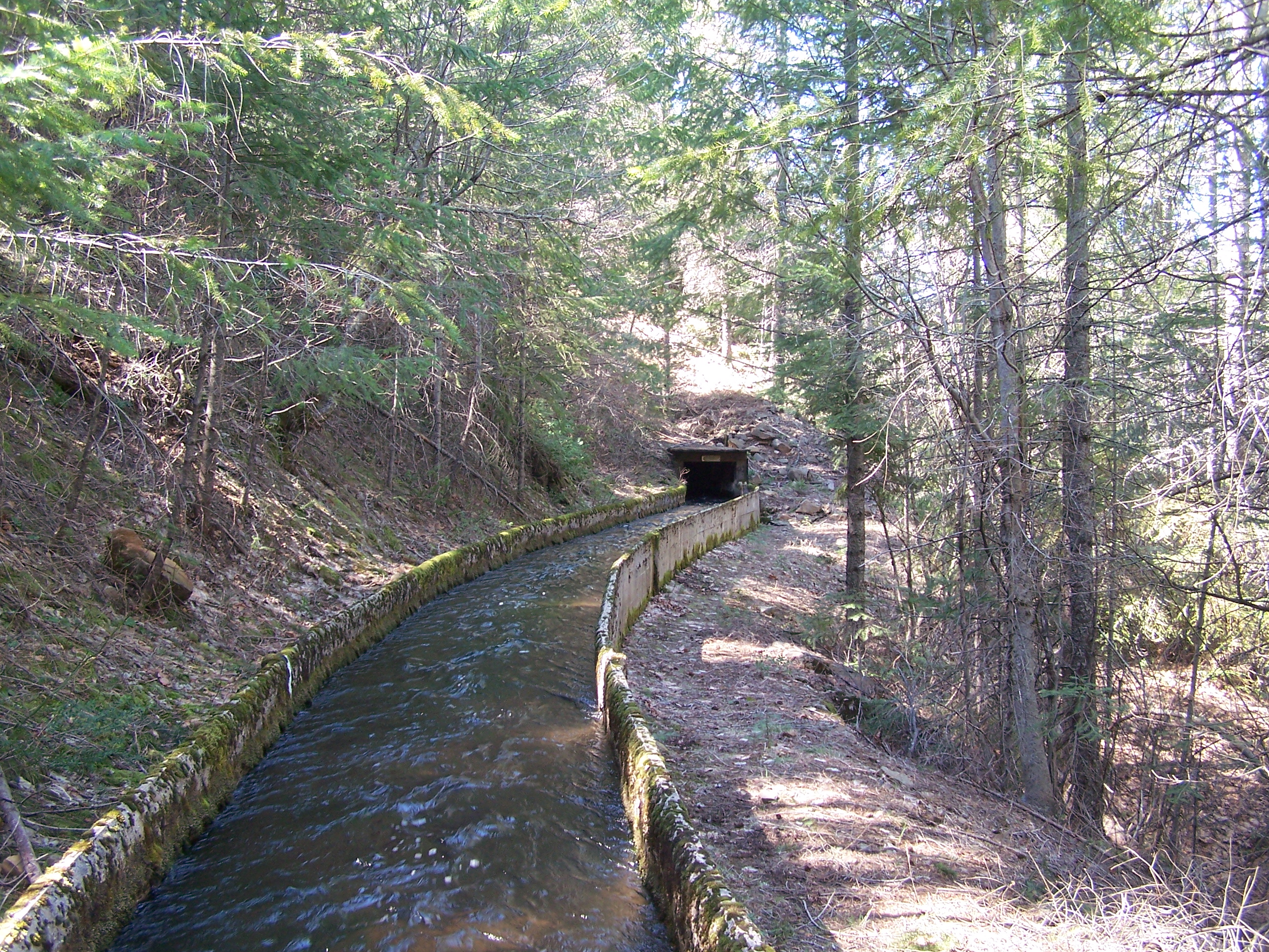
Middle Habitat Area. There is significant infiltration into the ground. The original canal was clay lined below the gravel. Much of the original clay is still in place and can be seen in small patched between the gravel areas. The first 2 miles of the canal are well shaded year-around. .This is the start of one of the isolated middle section habitat areas that are divided up by small conduits/ pools and riffles such as this. More pools will be created by placing boulders and groins along the North bank of the stream. |
 |
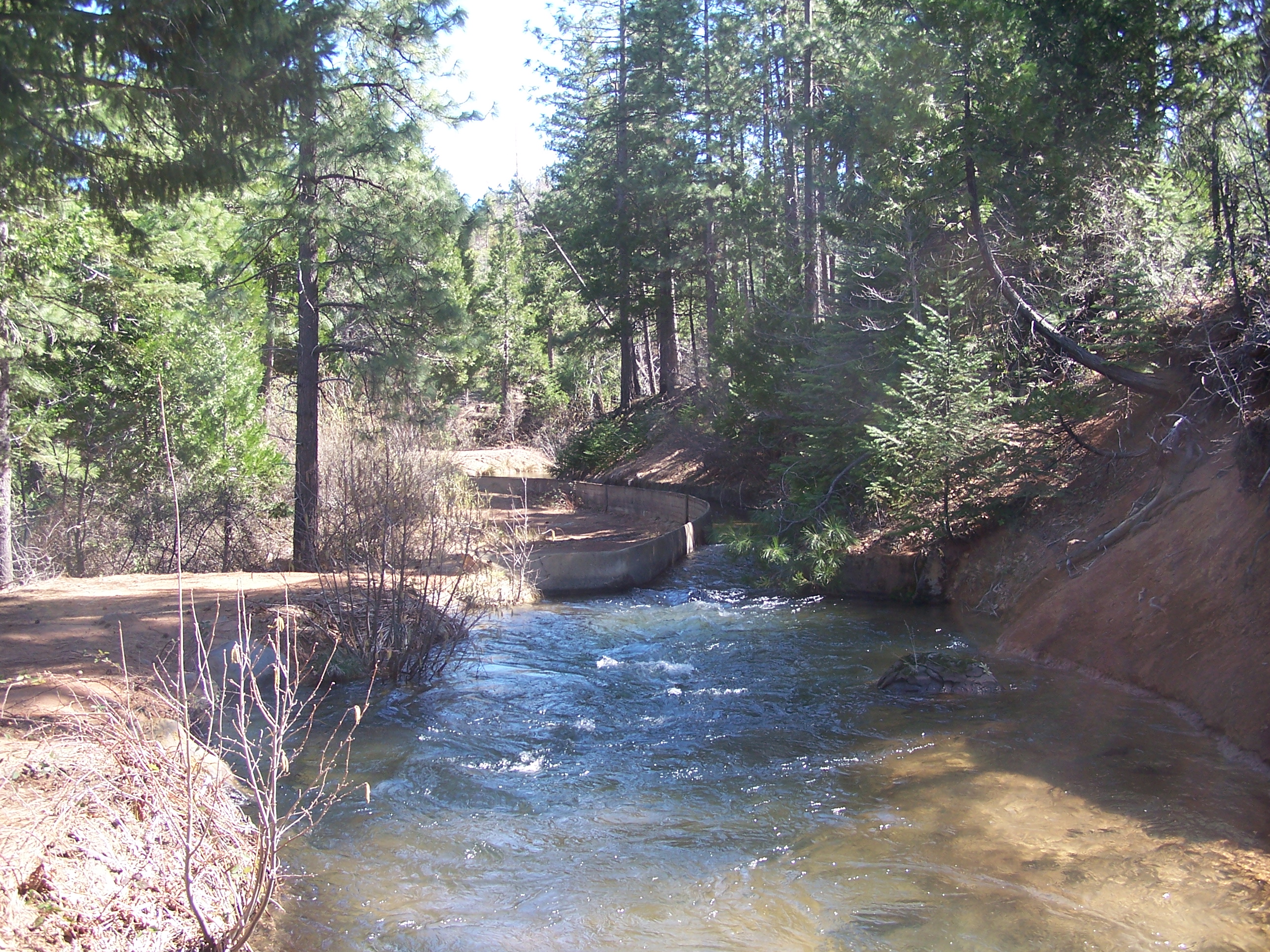
Narrow, tight, and swift. Here is another relief gate. These gates are used both for draining the canal and for overflow when something rolls into the canal. In former times they were manned by canal monitors who lived next to the canal year-around. |
 |
High Noon Much of the center part of the canal is is inhospitable to spawning with long sections in conduits. Note the steep slope to the left. In this central area there are only smaller habitat sections. |
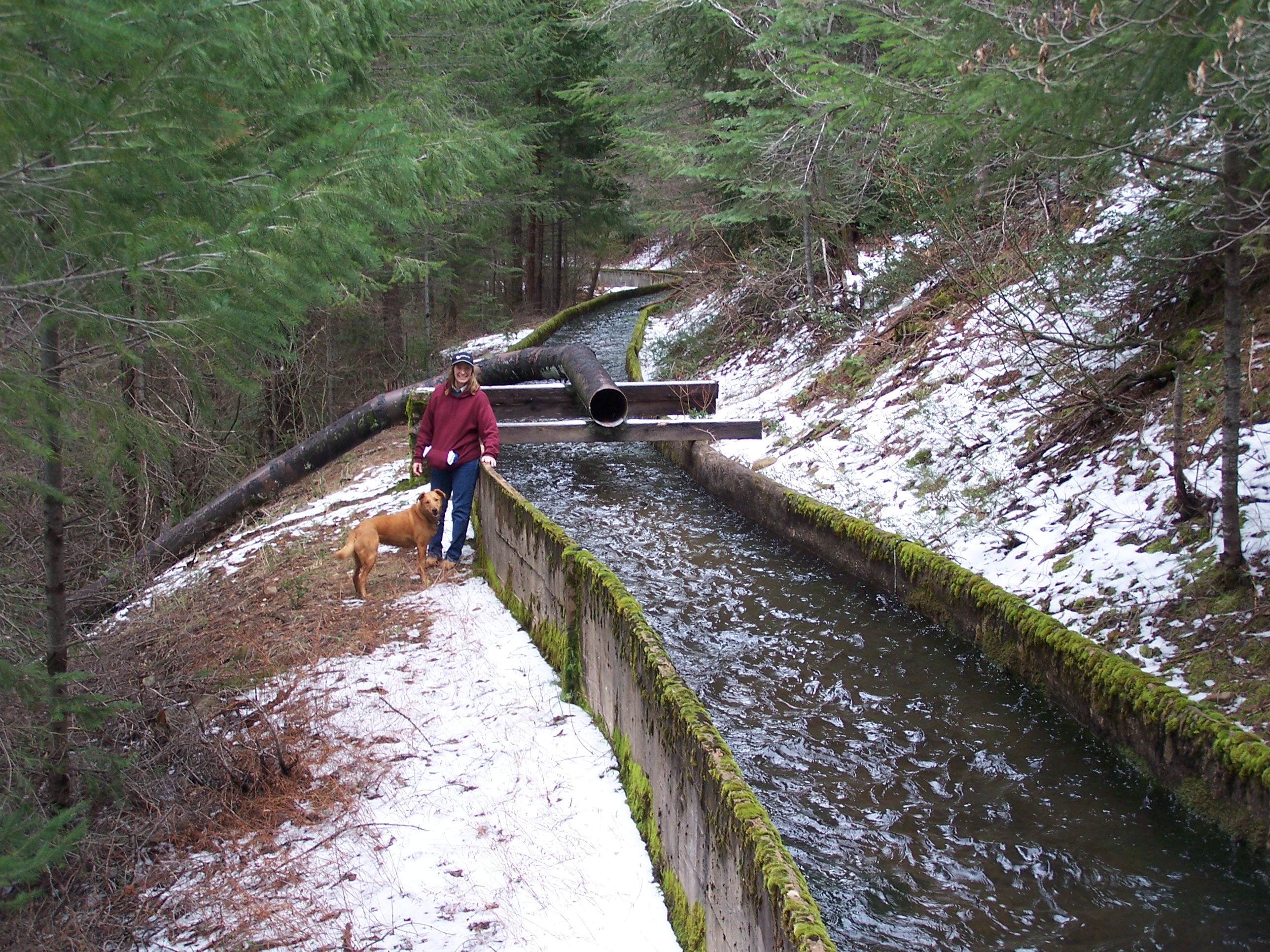 |
End of siphon from North Canyon Kelly Sackheim with "hydro pup". This early April 2007. The altitude and shade keeps the water in the canal cold. Fish resting breaks will be adding in areas like this allowing fish passage. The North Canyon water will enter here and add to the flow. This diversion is now in disrepair as can be seen in its set of photos, but can be reconstructed. |
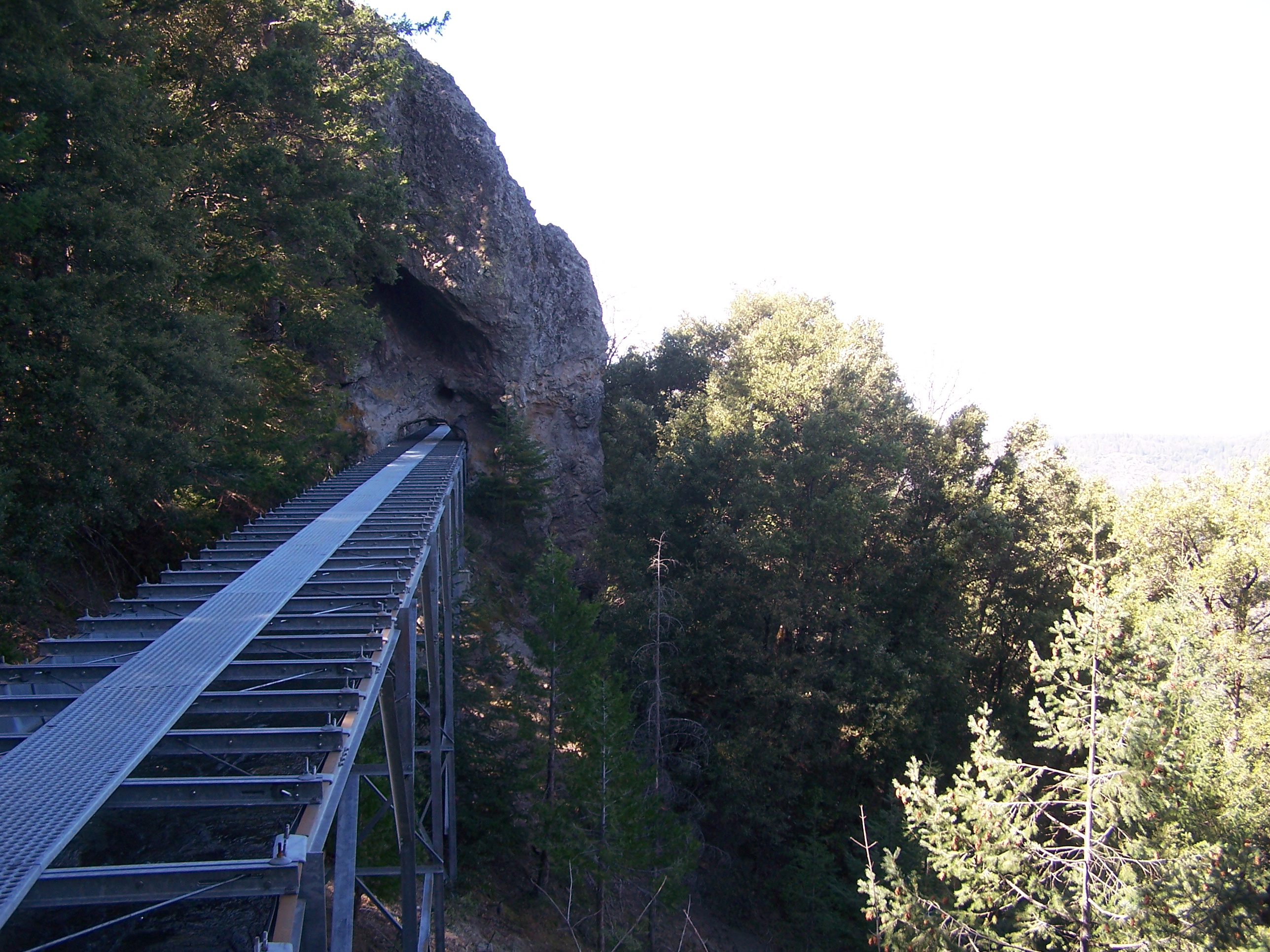 |
Canal in the Sky Here the canal travels in a flume across a high gully and through a small tunnel. This section is longer and may not be passable by trout going upstream to spawn at full flow. This has to be studied. In recommissioning, upstream passage may be facilitated by slowing the canal down some fall nights to allow easier upstream passage. |
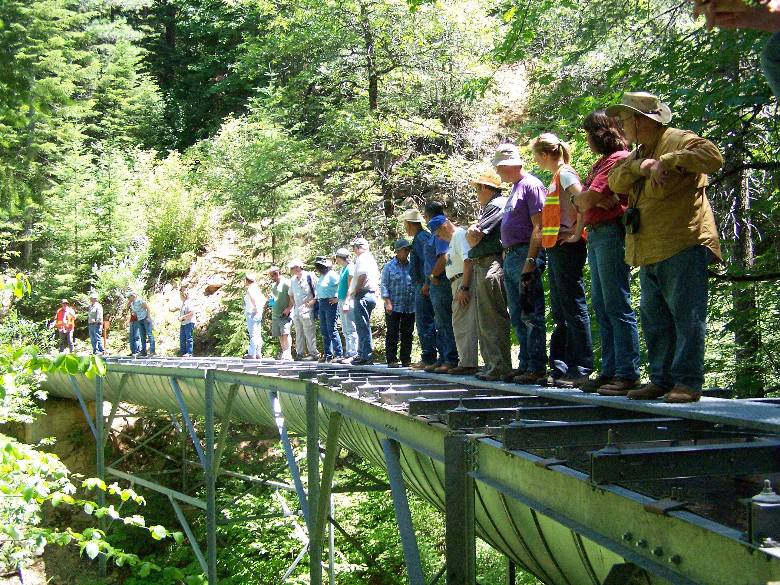 |
15 People maximum ! Testing the flume for Strength ! Somewhat typical flume. These are very strong and well engineered. This is typical of several flumes. While high they are not long and easily passable by fast moving trout. |
 |
Just follow the leader Do not bring your puppy, their toes get stuck in the grating. PG&E discourages access to these flumes as they are high and dangerous. The trout in the fall likewise can be seen shooting upstream to spawn. |
 |
A rock just about to slip into the canal. Large rocks like this are to be cracked by local contractors during summer maintenance. This one is about 3 tons. If they slip into the canal and no one notices for a few minutes the canal will overflow and cause major erosion. With recommissioning , this will be controlled with a new system of pressure gauges all along the canal. This photo also shows a general problem along the canal of soil pressure on the upstream side. Over the first few years of operation this will be reduced by excavation of the hillside to near conduit height.
|
 |
Largest and longest tunnel The water travels hundreds of yards under a hill in a closed tunnel. This tunnel separates the upper habitat area from the second habitat area just to the west of the tunnel. The first fish return conduit will be from this area back to the Old Cow stream down the the right in this picture. |
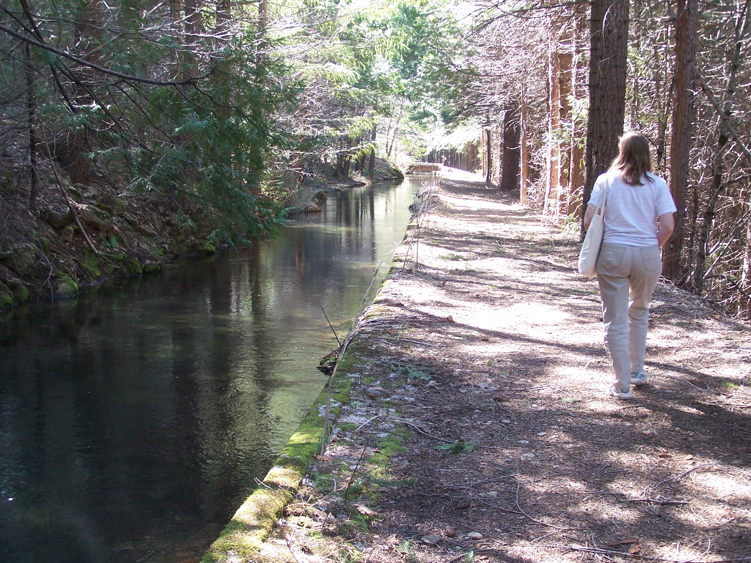 |
Walkway A quiet river in the sky. This and the next picture below are the upper habitat areas which will be modified to make perfect spawning grounds. Juvenile fish will be screened off from the forebay on their trip downstream and returned to the Old Cow Creek via small tributaries. |
 |
Sylvan Glen Elysian hiking area. Nearby are several informal camping areas. Extremely pleasant, even in the light snow. One of the design quandaries it whether to limit fishing access to this area when it is used as a spawning area so as to maximize fish production. |
 |
Flow Gauge Looking downstream at the start of the canal. This area may, be the location of an upper screen if it makes sense to keep some rainbow or other fish out of the stream to reduce predation. Currently this seems to be reducing to a genetics question. |
 |
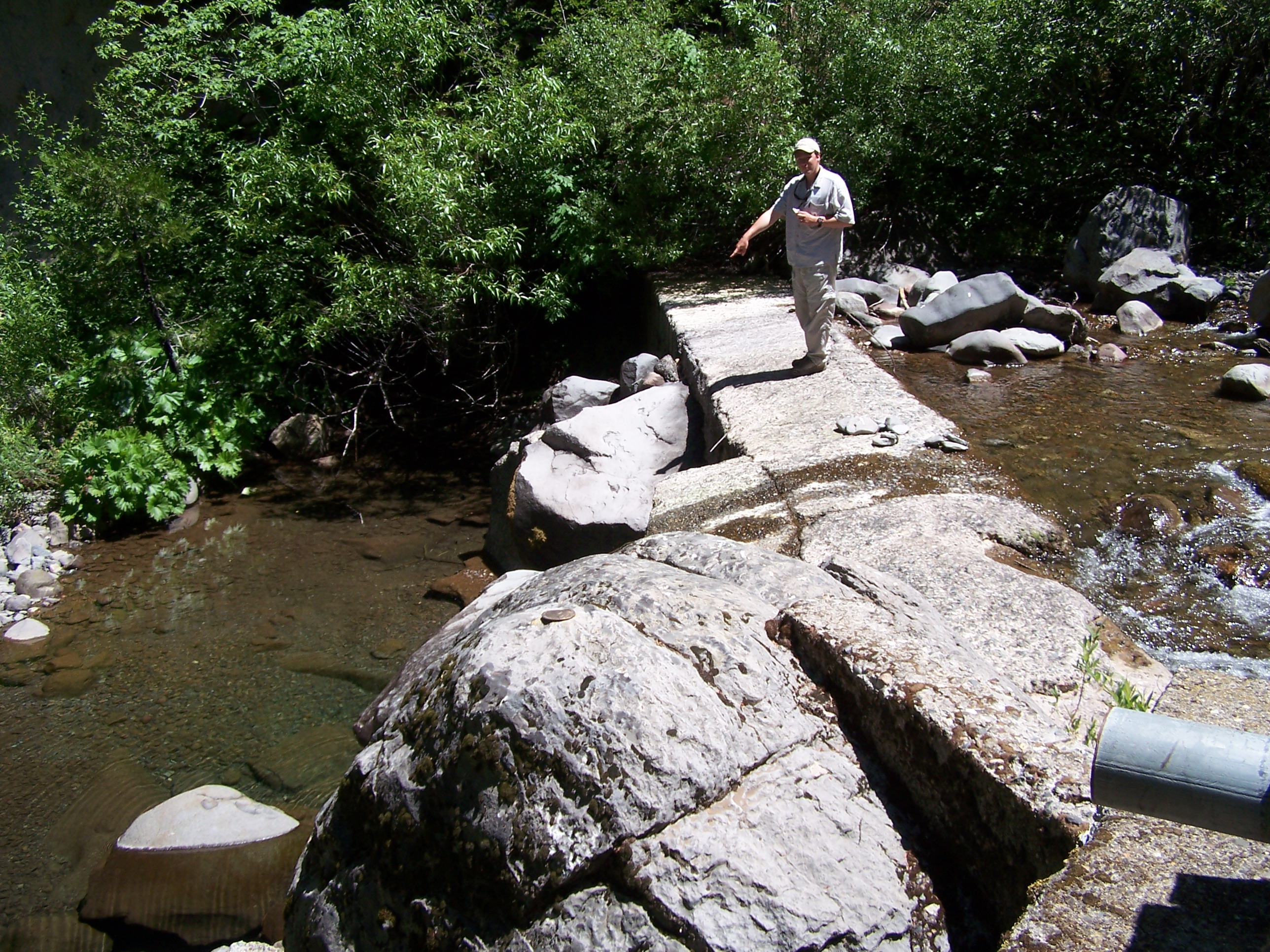
The Diversion Gate Looking Upstream. This where the canal leaves the Old Cow Creek. It is also where the required flow is returned to the Old Cow from the 100 meter bypass. |
 |
Where is the water? Brian Johnson from Trout Unlimited was a bit unhappy about the 100 meters of dry streambed just below the Kilarc Diversion Dam. Most of the year the whole of the the Old Cow is diverted into the bypass (under the camera) drying up the Creek. This probably has no effect on fish migration as there are impassable barriers to upstream migration below this point in the Creek. The whole area is to be designed as a fish production area, with minimal return possible, not due to the hydropower but to natural barriers. |
These Photographs were all taken in early April 2007.